

MAP OF NORFOLK BY GRAY & SON
International delivery available — please contact us for a quote.
Characteristics
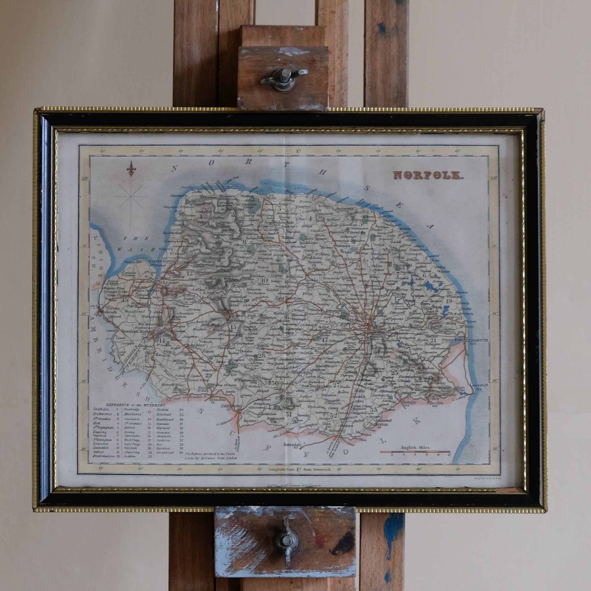
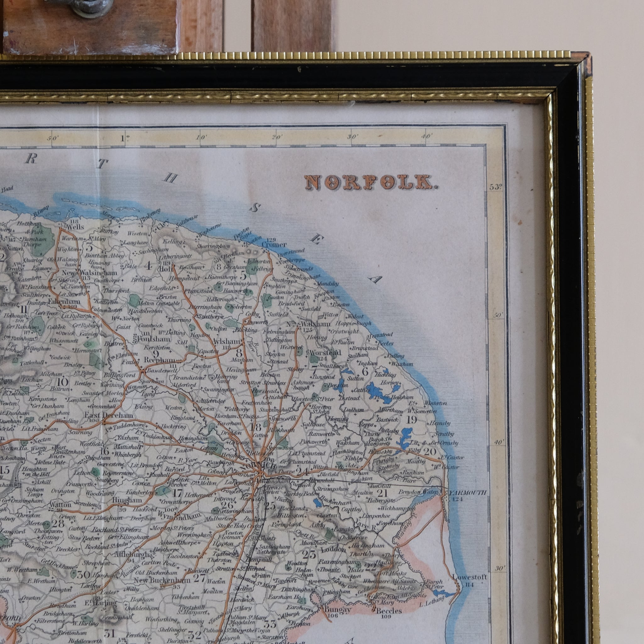
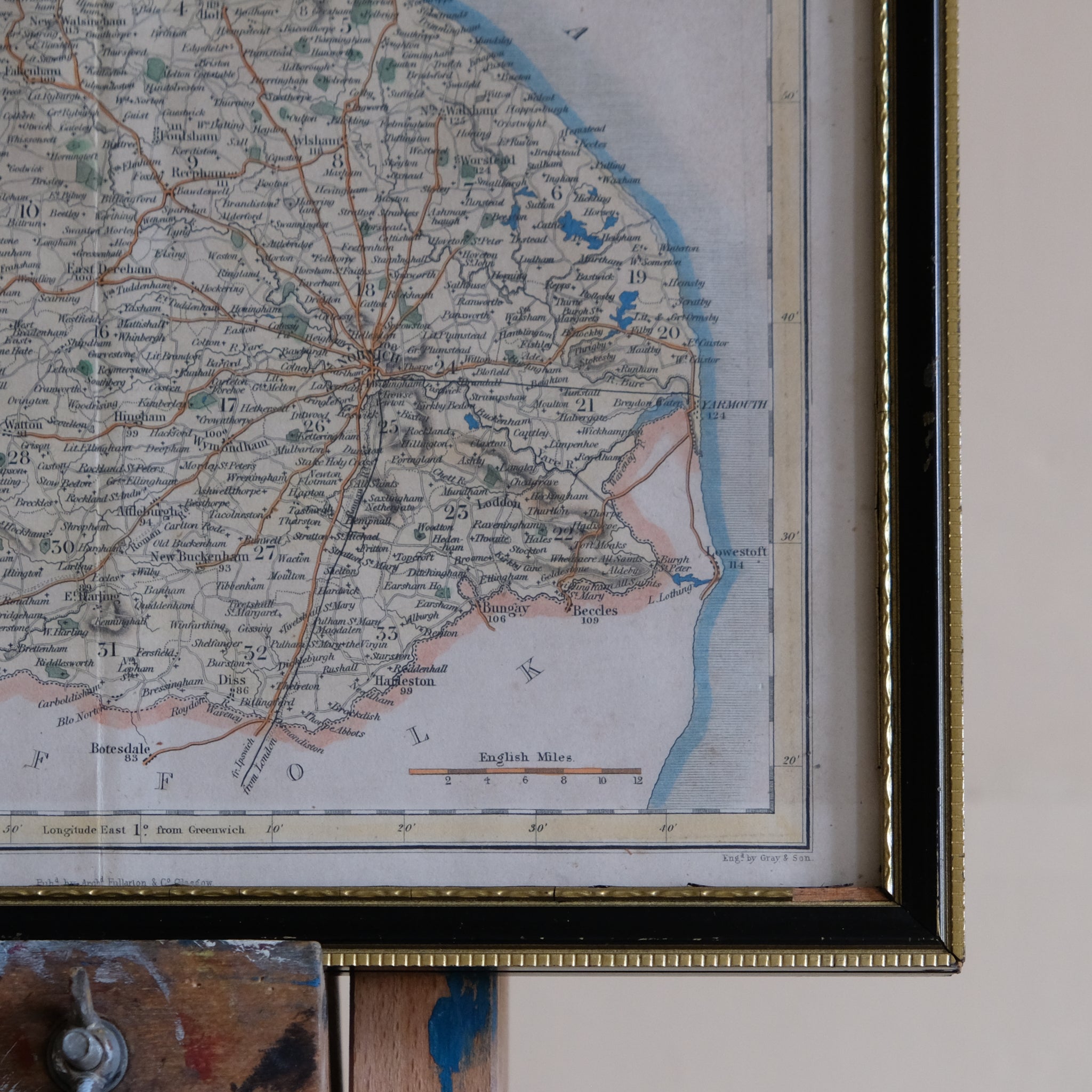
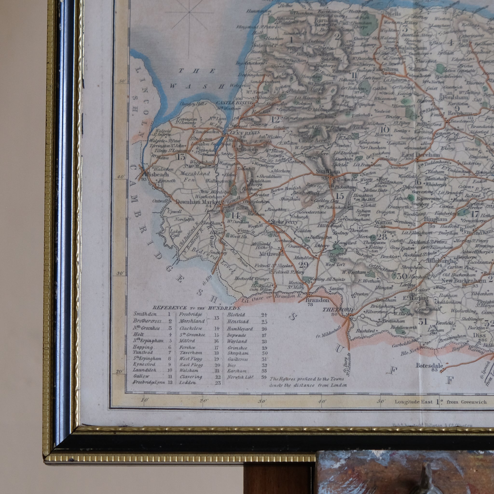
Map of Norfolk
Engraving with Hand-Colouring, circa 1840
By Gray & Son, published by Archibald Fullarton & Co.
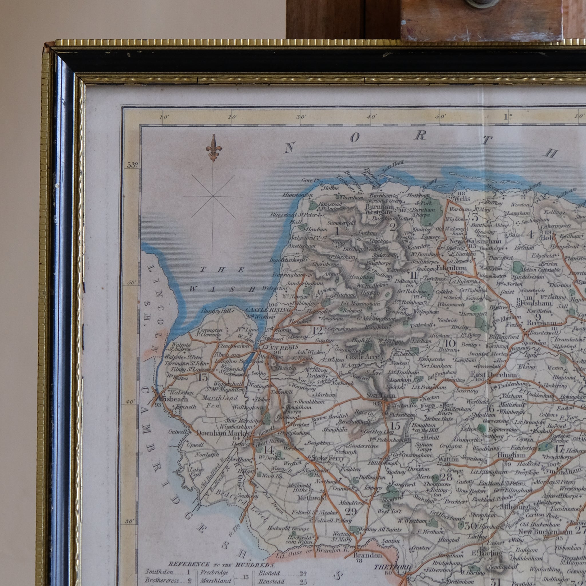
A finely engraved and hand-coloured nineteenth-century map of the county of Norfolk, produced by the respected cartographic firm Gray & Son and published by Archibald Fullarton & Co. for The Parliamentary Gazetteer of England and Wales (London, Edinburgh & Glasgow, 1842–1849).
Rich in topographical and historical detail, the map depicts Norfolk's towns, villages, roads, waterways and coastal features with remarkable clarity. The county's distinctive coastline, the Norfolk Broads, The Wash, and the principal settlements are all carefully delineated. Characteristic of maps produced during this transformative period, the engraving also records the rapidly expanding railway network, showing newly constructed and proposed railway lines that were reshaping travel, commerce and industry across Victorian Britain.
Enhanced with original hand-colouring, the map combines practical geographical information with decorative appeal, making it both an important historical document and an attractive display piece. Presented in a glazed frame, it is ready to hang and enjoy.
Technical Information
Date: 19th Century
Framed: 23 x 29.5 x 1.8 cm.
Choose options