Skip to content

Cart

Your cart is empty

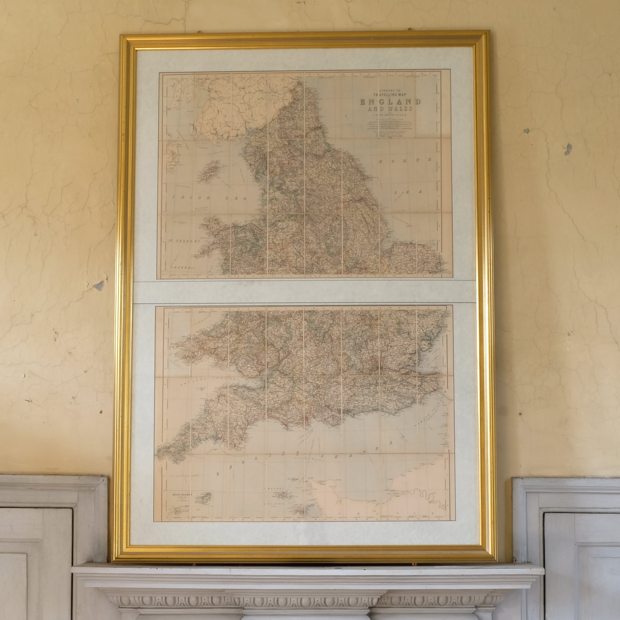
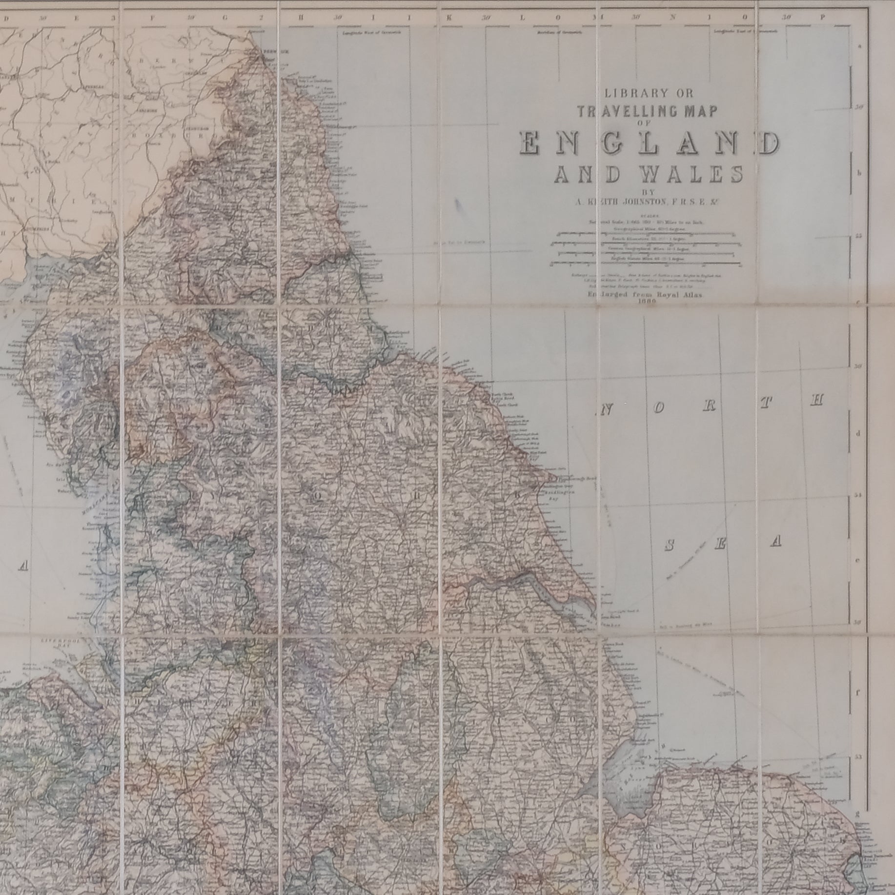
TRAVELLING MAP OF ENGLAND AND WALES

Sale price£325

International delivery available — please contact us for a quote.

Characteristics


Travelling Map of England and Wales
After Alexander Keith Johnston (1804–1871)
Published c.1880

A rare and impressive large-scale map of England and Wales, assembled from original sheets taken from The Royal Atlas published in 1880 and based upon the celebrated cartographic work of the distinguished Scottish geographer and mapmaker Alexander Keith Johnston. Presented across two sections and professionally mounted onto a linen backing, the map has been framed to display the complete composition as originally intended.

Rich in detail, the map illustrates the counties, towns, road networks, railways and coastal features of England and Wales during the late Victorian period. The intricate engraving and subtle period colouring reflect the high standards of nineteenth-century atlas production, while also providing a fascinating historical record of Britain's rapidly developing transport and communication networks.

Johnston's maps were widely regarded among the finest of their era, combining scientific accuracy with elegant design. Today they remain highly sought after by collectors of antique maps, British topography and Victorian cartography.

Presented in a smart gilt frame beneath perspex glazing, this substantial decorative map would make a striking addition to a study, library, office or traditional interior.

Technical Information

Date: 1880.
Frame: 1500 x 1050 mm.